CamSLAM™ is a navigation software platform that provides fast, accurate real-time mapping and localization. It offers superior navigation, mapping, and safety for a range of robotic and related mobility applications including augmented and virtual reality, person tracking, robot/ drone control, vehicle navigation, and tele-manipulation.
Technology
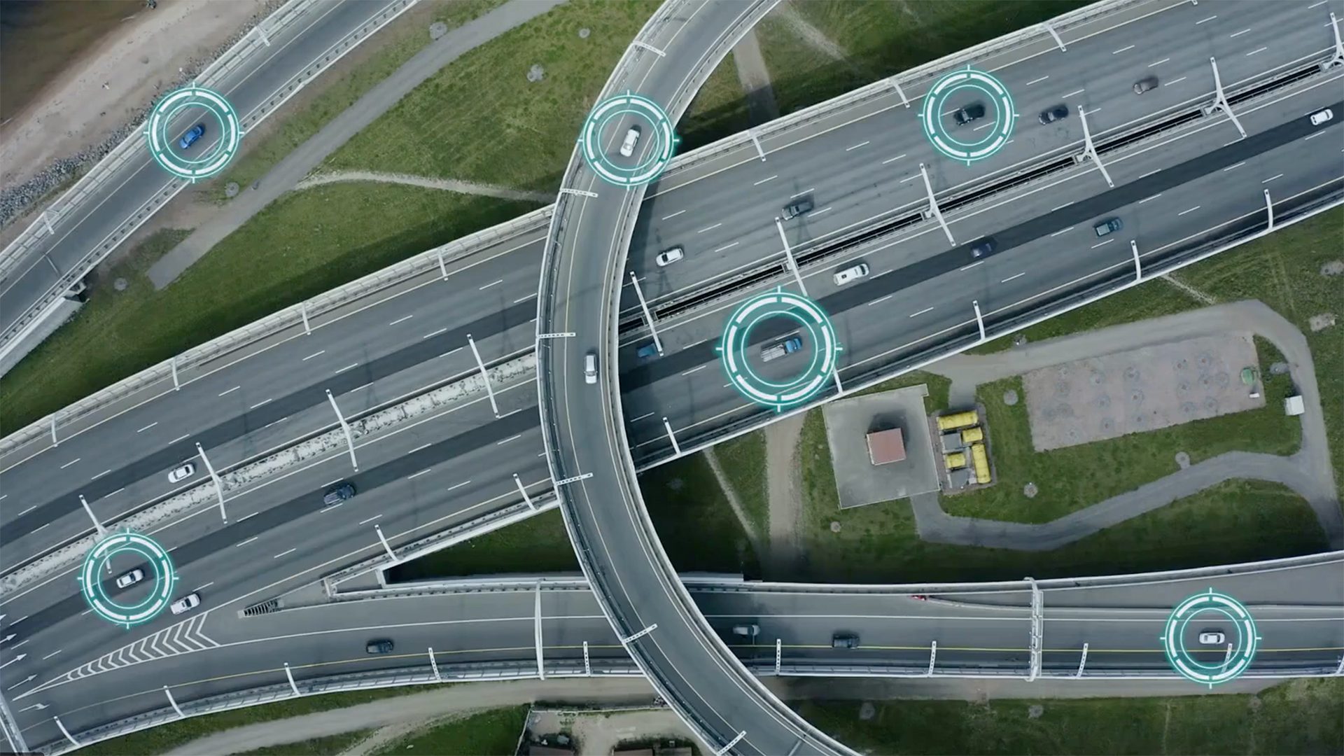
The CamSLAM software platform exploits highly optimized vision algorithms for accurate localization. It works with multiple sensors for robust, low-power, real-time localization on mobile platforms.
Key Capabilities of CamSLAM Suite
Navigation
- Precisely locates in 3D both indoors and outdoors
- Live GPS-denied navigation
- Superior open-loop navigation algorithms provide high-accuracy estimates of movement with low drift rates
Mapping
- Visual map generation and map-assisted navigation
- Maps and tags areas of interest
- Automatic real-time construction and updating of landmark maps with loop closures to reset navigation drift
Obstacle Detection and Safety
- Robust stereo vision algorithms
- Stereo-based 3D sensing enables high-accuracy obstacle detection and avoidance
- Can use multiple sensors for dynamic performance in challenging conditions including motion blur, bumping into walls, moving people, and dark areas
Path Planning
- Real-time localization enables repeatable precision
- Dynamically creates maps to ensure low-drift errors in subsequent runs
Features
- Can capture and process synchronized data from multiple sensors including accelerometer, gyroscope, magnetometer, barometer, odometer, GPS and monocular/stereo camera data to form an optimal localization solution in real-time
- Computes six degree of freedom (3D position and 3D orientation) navigation tracks in real time
- Can continuously track visual features and estimate 3D location of scene points over large windows of time
- Robust in difficult situations such as crowded areas, dark area, fast or very jerky platform motions
- Able to generate visual landmark maps on the fly in real time and use landmarks to re-acquire positional constraints when revisiting a site
- Maps can be stored and reused to improve localization, guide navigation, and provide highly accurate route re-tracing
- Software libraries run on multiple devices such as those running Windows, Linux, and ARM-based processors
- Runs on low-powered smartphone processors
Hardware and Sensors
CamSLAM is designed to run on low-cost sensor and processor hardware and can be ported to smartphones. SRI offers clients extensive hardware layer expertise integrating CamSLAM with COTS hardware including SRI sensor-processor boards incorporating multiple sensors: stereo/monocular cameras, IMU, barometer, magnetometer, GPS etc. with embedded FPGA/ARM processor and smartphone processor boards.