Photos and videos taken from cell phones, laptop cameras, and other devices often contain critical information about the locations of the people, buildings, and objects seen in the imagery. The widespread availability of these images and videos has greatly expanded the volume of information requiring labor-intensive analyst review, even though quick assessment may be necessary for certain operations.
Because of the lack of geolocalization tools for metadata-free images and videos, analysts must manually geolocate these images and videos by visually comparing them with terrain models and overhead images. However, this process is extremely time-consuming and has a low success rate, and it is not feasible when there is little or no information about the possible location of the imagery or video, thus requiring a large-scale search.
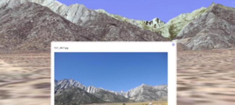
Depiction of HUNTER system’s operational capabilities
To address this problem, SRI has worked with the National Geospatial-Intelligence Agency to develop and demonstrate a prototype Hierarchical Urban and Natural Terrain Exploitation and Reasoning (HUNTER) system for the semi-automated geolocalization of metadata-free images and videos. HUNTER greatly reduces analysts’ workload, shortens their response time, and improves the success rate of finding the location of interest.
SRI Divisions, Centers & Labs: