Today’s warfighters have a need to use small robots for mapping complex urban environments where access to GPS and communications may be limited. Currently, operators receive a soda-straw view of their surroundings that does not convey adequate depth information. Location awareness is hampered, and the operator is forced to rely on trial and error when maneuvering a robot.
SRI is working on technologies that will enable the warfighter to easily maneuver a robot over complex 3D terrain, map the environment with high precision, and experience enhanced 3D situational awareness. The improved situational awareness is enabled by
- A 3D colorized map of the wider area to better interpret context
- A live traversability and obstacle map to indicate where the robot can move for improved teleoperation
- Accurate 3D localization of the platform on a map that provides geospecific context in environments with intermittent GPS
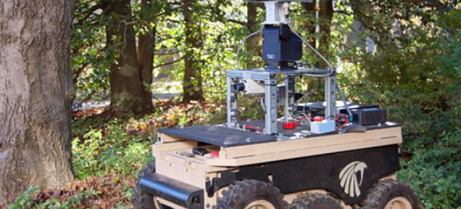
Indoor/outdoor complex-terrain map
Better operator control of the platform is also enabled by autonomous navigation around complex obstacles and the comprehensive autonomous mapping of regions of interest.
SRI is implementing interfaces between the output data generated by complex-terrain mapping unmanned ground vehicles and standard Multi-Robot Operator Control Unit systems for use by the Space and Naval Warfare Systems Command.
This Project Agreement Holder (PAH) effort was sponsored by the U.S. Government under Other Transaction number W15QKN-08-9-0001 between the Robotics Technology Consortium, Inc., and the Government. The U.S. Government is authorized to reproduce and distribute reprints for Governmental purposes notwithstanding any copyright notation thereon.