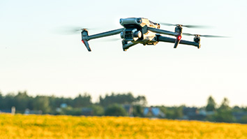
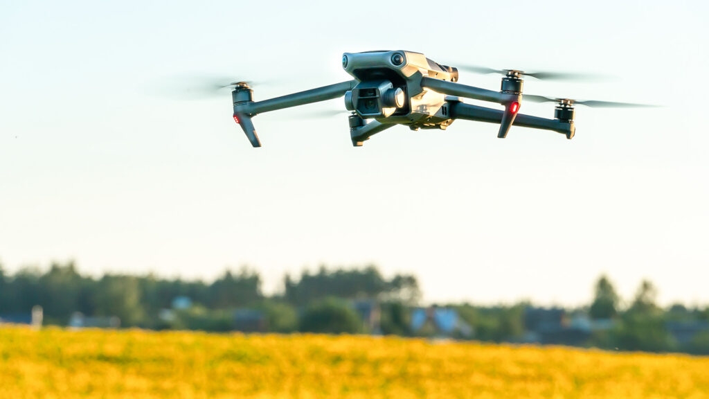
Leveraging SRI navigation technology, Entropy Robotics aims to create safe, resilient autonomous platforms for defense, livestock management, disaster recovery, and much more.
Chris Lemuel, the founder and CEO of Entropy Robotics, has a thesis about the future of robotics: Robots (and particularly unmanned aerial vehicles) will often be general-purpose tools that we will modify with a dizzying array of peripheral sensing devices and other add-ons.
“You can now turn any drone into a smart detection platform,” he notes. “That’s much more cost-effective than building a very specialized drone for a niche use case.”
Entropy’s aim is to bring autonomous robotics solutions to industry use cases where they’ve previously been too complicated or expensive, from livestock counting to thermal inspection to bridge maintenance.
Achieving that vision is about much more than hardware. By building a software stack that enables AI-powered autonomy at the edge, Entropy aims to dramatically boost the cost-effectiveness of autonomous platforms. To this end, one of Entropy’s differentiators — and one that Lemuel believes will be critical to expanding the industrial utility of autonomous drone-based monitoring — is the visual navigation suite that Entropy licensed from SRI.
The seeds of Entropy Robotics
Before founding Entropy Robotics, Lemuel spent time in the U.S. Army followed by a decade working on electronic trading in the financial sector. Then a conversation with an Army friend caught his attention: The Army was improving its ability to fly drones in GPS-denied areas, but solutions were expensive and computationally intense.
Lemuel had seen the impact of fit-for-purpose automation on the financial sector. Now he saw an opportunity to take a similar fit-for-purpose approach to drones. After exploring the problem space, he zeroed in on one area in particular: low-power solutions that used computer vision to aid in navigation. Research in the area was promising, and he found what he was looking for after a friend recommended that he speak with SRI: visual-inertial navigation technology that could allow autonomous platforms to navigate without access to GPS.
“You need to be able to navigate safely when your GPS breaks. And you need to be able to land safely if you have to make an emergency landing.” — Chris Lemuel
In an ideal world, autonomous robotic platforms would have access to precise GPS data and maybe even 5G connectivity. In the real world, that’s not possible. Complex landforms like canyons can degrade a GPS signal. And because of jamming, military platforms need to be able to operate in a fully GPS-denied environment.
“In a military context, no one wants their drones to fall out of the sky when they lose connection with their operators or need to operate in autonomous mode,” says Lemuel. “On the civilian side, there are similar risks: What if your drone malfunctions and crashes into a busy public space? Before regulators are comfortable letting autonomous drones operate in densely populated areas, they will need to be certain that the drones can land safely despite software, hardware, and connectivity malfunctions.” We are already seeing evidence of poorly controlled drones compromising emergency response, and Lemuel expects the FAA to eventually require autonomous landing capability for all unmanned aerial vehicles (UAVs).
SRI’s low-cost, low-compute, vision-based approach to navigation, developed by a team in SRI’s Center for Vision Technologies, provided Entropy Robotics with a unique and highly efficient approach to building safety and resilience into UAVs. This software approach fuses visual data from today’s increasingly lightweight drone-mounted cameras with inertial measurement units (IMUs) to achieve uniquely precise measurements and accurate navigation.
“You need to be able to navigate safely when your GPS breaks,” Lemuel emphasizes. “And you need to be able to land safely if you have to make an emergency landing.”
More drones in more places
By pairing SRI’s visual-inertial navigation capabilities with efficient edge computing and cost-effective sensing systems, Entropy Robotics aims to unlock new roles for UAVs. Among other advances, Entropy has developed an approach that can seamlessly port pre-trained AI models from cloud-based computing clusters to the edge, which enables more effective computing on the UAV itself, even in remote and unconnected contexts.
One use case that precisely captures the value of this technology, Lemuel notes, is livestock counting.
“What you’re really looking for,” he says, “is a cow that’s away from the herd, lying down, and has signs of sickness. You might have a 100,000-acre ranch, so that’s a couple hours out of your morning. Sometimes you’re moving at five miles an hour because you’re worried about other farm animals or you’re just on rough terrain. And, by the way, the average age of a cattleman in the United States is something like 61 years of age.”
In other words, UAV-based monitoring could save ranchers time and expense while also reducing physical wear-and-tear.
Inspections following natural disasters, Lemuel adds, are another promising area where there’s potential to expand into autonomous solutions. Recovery grants often depend on rapid estimations of the level of damage, and the amount of funding is always finite. One recent investigation showed that, in the wake of Hurricane Helene in western North Carolina, households with the highest income tended to receive the most housing assistance. Data on remote and low-income areas is always harder to access. UAV-based inspection could help ensure a fair, strategic distribution of recovery resources from day one.
“If towns and counties had access to pre- and post-disaster overflight analysis,” Lemuel observes, “they’d immediately have maps that they could register with FEMA and with the state and say: There were a hundred homes, and now there are just 80.”
Beyond ranching and disaster management, Entropy also sees opportunities to leverage onboard compute to power sensor suites that will be relevant to the power and gas industry, which needs to monitor infrastructure health and ensure emissions compliance.
Regardless of the use case, Lemuel notes, Entropy’s central message is that, once you have an efficient way to process information on the drone itself regardless of connectivity, you open up vast opportunities for on-the-ground customization.
“At that point,” he says, “it’s just the application of stuff that’s already been built — finding the most cost-effective and reliable hardware, and ensuring that the compute is powerful enough to run the peripheral that you need, whether it’s optical or thermal-based or something else.”
Learn how SRI helps startups innovate by connecting with SRI’s ventures group.