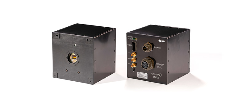
Eagle Camera
A highly specialized camera, known for its exceptional speed and sensitivity, that enables detailed, high-resolution 3D imaging
SRI’s Center for Advanced Imaging has created the Eagle camera, a Light Detection and Ranging (LiDAR) system that operates a Shortwave Infrared (SWIR) Geiger-Mode Avalanche Photodiode (GmAPD) array to provide single photon sensitivity for time-of-flight (ToF) measurements down to 250 ps resolution.
The challenge
Conducting surveillance or reconnaissance, trying to identify a target, or generating a 3D map requires a non-conventional imaging approach, and may be difficult due to low light, dense foliage, or camouflage — especially at a distance.
The solution
LiDAR imaging plays a critical role in enhancing situational awareness, planning, and threat assessment with precise spatial representations. It overcomes these obstacles by providing accurate mapping, detailed terrain analysis, and realistic simulations, improving overall operational effectiveness across both commercial and defense applications.
For superior 3D visibility and best-in-class performance, especially in challenging environments, we have created the Eagle camera, intended for use in military and commercial settings. Unique sensing capabilities and high resolution enable mission-critical visibility and the ability to see through vegetation and trees.
Geiger-mode LiDAR cameras use a Geiger Mode Avalanche Photo Diode (APD) to measure the time-of-arrival of infrared light. Diodes are sensitive enough to detect a single photon reflected back from the illuminated area. This camera is commonly used for collecting returns from a 1.064 µm or 1.550 µm laser pulse providing ToF resolution down to 3.75 cm in ranging, mapping, and imaging applications. It offers a range depth of greater than 300 meters at its finest resolution, to a range depth exceeding 4.8 km if the clock increment is slowed to 4 ns.
Applications
- Aerial and satellite mapping: High-altitude 3D terrain mapping for large-scale geographical and topographical surveys
- Defense and security: Long-range surveillance, target detection, and reconnaissance in low-light or obstructed environments
- Disaster management: Rapid assessment of disaster-affected areas for search and rescue operations and damage estimation
- Infrastructure inspection: Precise inspection of power lines, pipelines, and large structures for maintenance and safety assessments
- Autonomous navigation: Enhancing situational awareness and obstacle detection in UAVs, autonomous vehicles, and drones
- Forestry and agriculture: Vegetation analysis, biomass estimation, and precision agriculture planning
- Urban planning and construction: Detailed 3D mapping for city planning, construction site monitoring, and architectural design
- Coastal and marine mapping: Monitoring shorelines, coastal changes, and underwater topography in shallow waters
Features
- Supports SRI’s Lucid Sensor Chip Assembly (SCA)
- 250 ps, 3.75 cm ToF minimum resolution
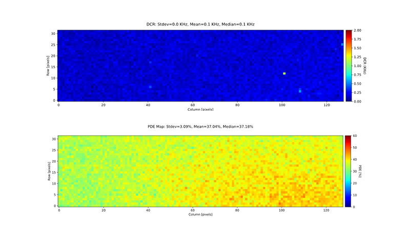
- 128 x 32 array resolution, 50 µm optical pitch
- Synchronous ToF measurement operation
- Maximum depth range of >4.8km at 60 cm resolution per flash
- Triggerable to >350,000 times per second
- LAN control interface
- 4x10GbE data interface through QSFP+ connector