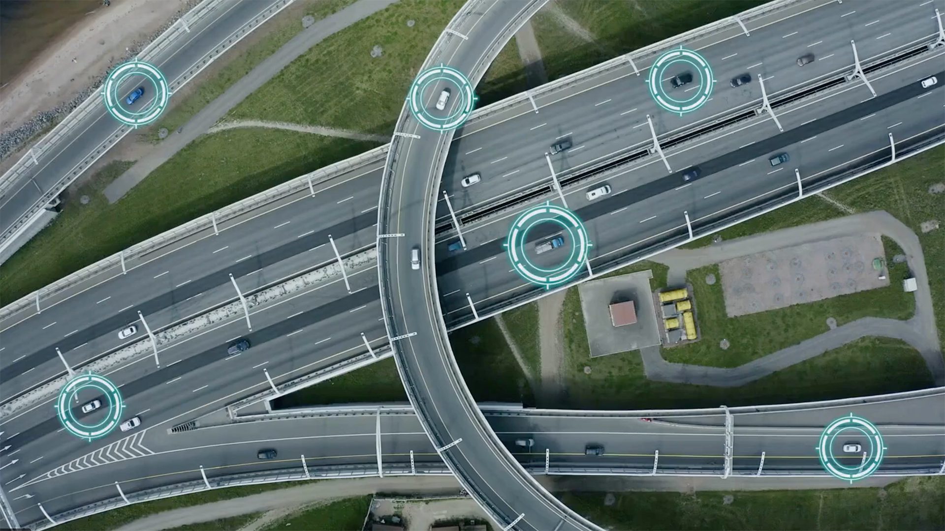
2D-3D reasoning and augmented reality
-
A new augmented reality system delivers a smoother, more immersive experience
By combining ground and aerial views with computer-generated elements, users on the ground view a more accurate augmented reality experience.
-

A modern approach to building inspections
Using augmented reality and mobile technology to reduce construction overhead.
-
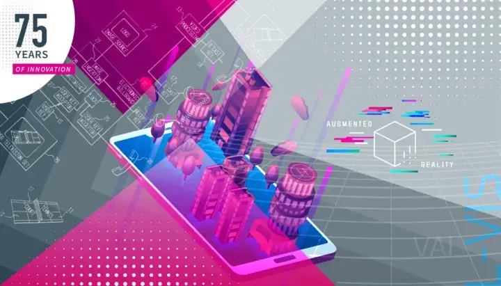
75 Years of Innovation: augmented reality binoculars
The first mobile, precision, non-jitter, augmented reality binoculars
-
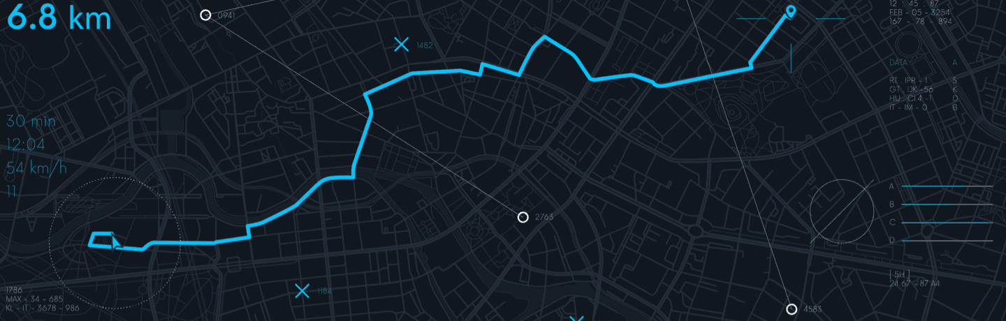
Real-Time High-Precision Navigation and Mapping
Provide greater than 10 centimeter level localization accuracy, using small low-cost sensors and processors, on dismount, ground, and aerial platforms.
-

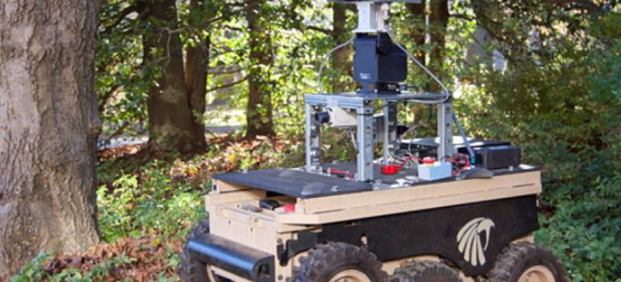
Semantically-Aware Navigation
A visual navigation system that is robust to changes in scene appearance and content over time, without a need for continuous updating its map database.
-
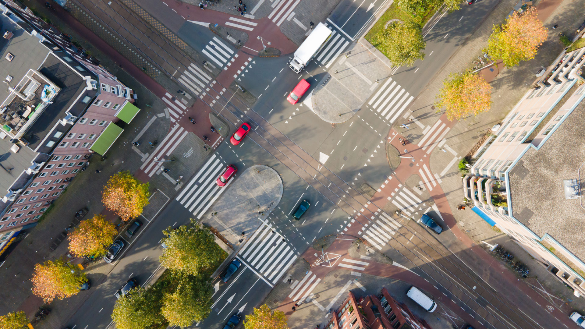
3d mapping in complex urban terrain
SRI is developing technology that will allow warfighters to easily maneuver a robot, precisely map an environment, and have 3d situational awareness.
-
CamSLAM: Advanced Real-Time Mapping and Localization
CamSLAM™ provides fast, accurate real-time mapping for a range of robotic and related mobility applications including augmented and virtual reality, person tracking, robot/ drone control, vehicle navigation, and tele-manipulation.